
How a Due Diligence Survey Verifies Recorded Access
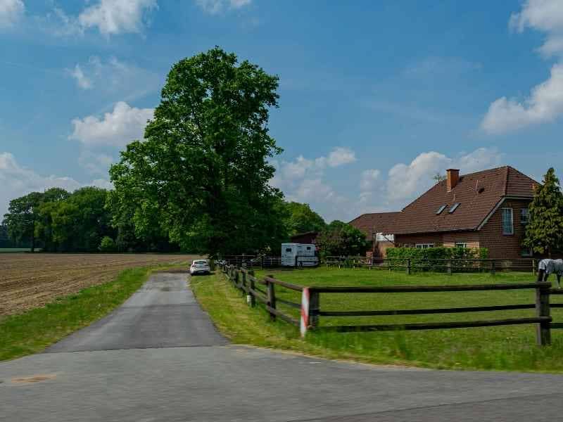
Buying land sounds simple until you ask one question: does this property actually have the right to use the road or driveway that leads to it? A due diligence survey answers that question. It checks what the public record says about access, then checks what’s really on the ground. If those two things don’t match, you want to know before closing, not after.
This matters more than most buyers realize. A property can look fine from the street and still have no legal right to the path you’re driving on.
Match Recorded Access Documents to the Property Being Surveyed
Every property has a paper trail. Deeds, plats, and title materials often mention access rights, and a surveyor’s first job is pulling those documents and lining them up with the actual parcel.
This is about proof, not guesswork. The surveyor reads each document to figure out whether the property benefits from an access right (meaning it can use someone else’s land to reach a road) or whether it’s burdened by one (meaning it must let someone else cross its own land).
Some deeds spell this out clearly. Others reference an older document, which then has to be tracked down too. It can take a few extra steps, but leaves gaps that show up later, usually at the worst possible time.
Plot the Location and Width of Recorded Rights of Way
Once the documents are matched to the property, next is putting that access on the map. A right of way or easement described only in words isn’t much use to a buyer. It needs a physical location.
If the recorded documents give enough detail, the surveyor plots the course and width of the access route and shows it on the survey drawing. This usually includes the recording information too, so anyone reviewing the survey can trace it back to the original document.
Width matters here. A right of way that’s only 10 feet wide behaves very differently than one that’s 30 feet wide, especially if the property owner ever wants to widen a driveway or run utility lines alongside it.
Compare Legal Access With the Entrance Used on the Ground
Paper and reality don’t always agree. So the survey compares the driveway, road, or gate actually used to reach the property with the access route described in the records.
Sometimes they line up exactly. Other times, the driveway has drifted over the years, maybe because it was easier to pave around a tree, or because nobody checked the old survey before building it. The current entrance might sit partly or fully outside the recorded easement.
The survey documents this comparison as fact, not opinion. It shows where the physical access sits next to where the recorded access sits. From there, buyers, lenders, and attorneys can decide what to do with that information.
Identify When Recorded Access Cannot Be Clearly Located
Not every old document holds up well. Some easements were recorded decades ago using descriptions that are vague or missing key details. A course with no bearing, a width that’s never stated, a reference to a landmark that no longer exists. All of these make plotting the access difficult or impossible.
When this happens, a careful survey doesn’t guess. It notes that the location can’t be confidently established from the record. That might sound like bad news, but it’s actually protective. An assumed location that turns out wrong can cause real problems down the line, including disputes with a neighbor over where an easement actually runs.
This is one reason older rural properties tend to need more careful review than newer subdivided lots, where access descriptions are usually cleaner.
Use Verified Access Information During Property Due Diligence
Once the survey is finished, it becomes a working tool. Buyers use it to confirm whether a property connects directly to a public road or depends on a recorded route across someone else’s land. Lenders use it to check that the collateral has usable access, which affects value. Attorneys use it to spot conflicts before they turn into litigation.
None of this replaces a title search or a legal opinion. But it gives everyone involved a clear picture of what the record says and what’s actually there, side by side. That combination is what makes it useful during due diligence, not just as a formality but as a real check on risk.
Frequently Asked Questions
What does recorded access mean on a property survey?
Recorded access refers to an access right that shows up in public land or title records, such as a documented easement or right of way. It’s different from access you can simply see, like a worn path or driveway.
Can a due diligence survey show where an access easement is located?
Yes, as long as the recorded documentation contains enough detail. The surveyor uses the course, width, and other description in the record to plot the easement’s location on the survey.
What if the driveway does not follow the recorded access route?
The survey can show both the observed driveway and the recorded access area, side by side. That lets buyers, lenders, and attorneys evaluate the gap and decide how to handle it.
What happens if an old access document cannot be plotted?
If the description is too vague or incomplete, the surveyor won’t force a location onto the map. Instead, the survey notes that the position can’t be determined from the available record.
Does having a driveway automatically prove legal access?
No. A driveway shows how a property is currently being used, but it doesn’t prove legal access on its own. The recorded documents are what establish whether that access right actually exists.
